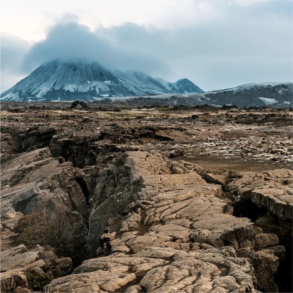
In the last decades, geodetic technologies, such as InSAR, GNSS, and leveling, have been demonstrated to be powerful approaches to monitor surface deformation. Various geological disasters, including earthquakes, volcanoes, landslides, land subsidence, and permafrost melting, often result in surface deformation at different scales. Geodesy provides important means to monitor geological disasters, to assist its simulation and mechanism interpretation, and even to support early warnings. Recent advances in geodesy further enlarge its capability for geological disaster monitoring and modeling. For example, large-scale earthquake deformation obtained by InSAR help to update and challenge our current knowledge on earthquake occurrence, particularly in the lithosphere rheology structure, hazard analysis, and the varying fault behaviors in the seismic cycle. Furthermore, enlightened by high-resolution DEMs, detailed fault geometric parameters can be extracted, which deepen our insights into earthquake rupture propagation and recurrence patterns. Last but not the least, some satellites dedicated to Earth observation (e.g., meteorological observatories, monitoring of the Earth's geomagnetic field) have also been successfully used to investigate earthquake precursors, such as outgoing longwave radiation and ionospheric disturbances in several months prior to large earthquakes.
This Special Issue aims to publish studies on surface deformation linked to various geological disasters: from geodetic observations to integrated geophysical analyses. Topics may cover anything from ground displacement monitoring, to geophysical parameter inversions. Multi-source data integration (e.g., InSAR, GNSS, and ground sensors), advanced InSAR approaches, geological disaster modeling, and other relevant issues, are all welcome. We also welcome papers that explore the statistical significance of preseismic processes occurring in the lithosphere, atmosphere, and ionosphere as detected by satellites and/or other methods.